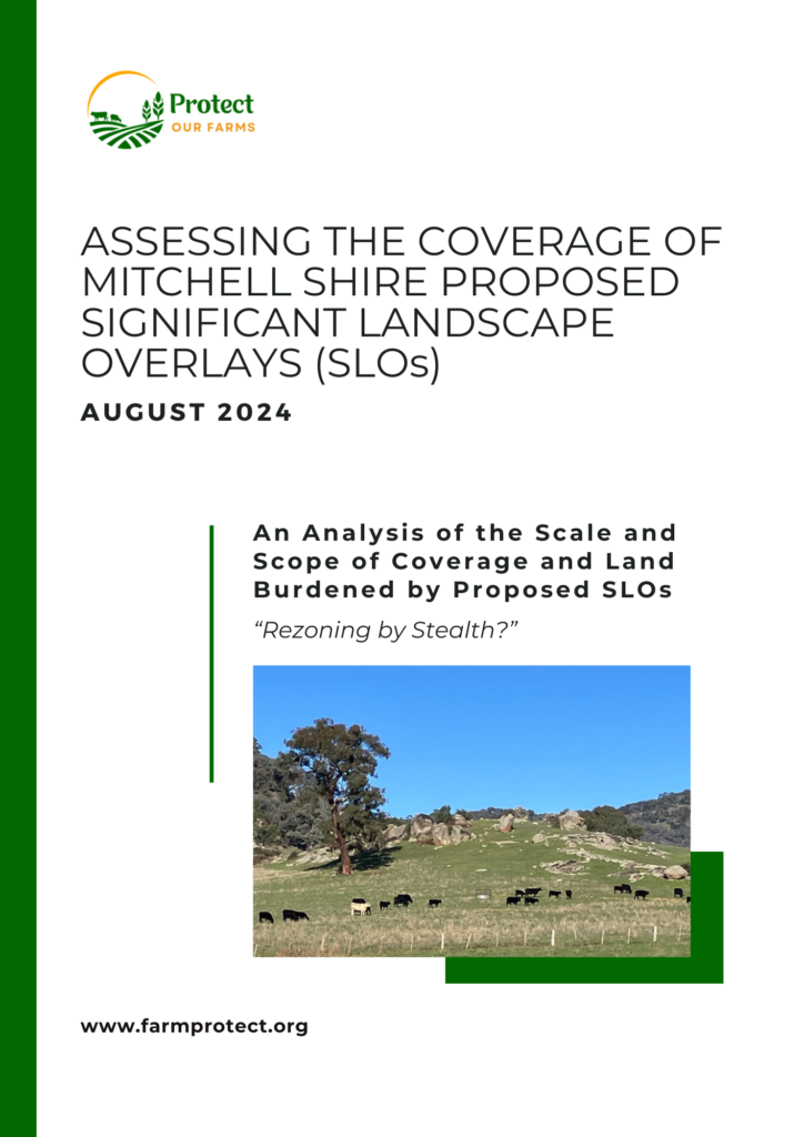
Protect Our Farms is proud to announce the release of a comprehensive spatial analysis study detailing the coverage of new proposed Significant Landscape Overlays (SLOs) in Mitchell Shire. This report is a resource for landholders, policymakers, and community members to understand the scale and extent of the proposed changes.
Key Findings:
-
- Significant Increase in Coverage: The proposed SLOs will expand from covering 1.98% of the Shire to 8.76%, representing a 440% increase in land area covered.
-
- Farming Land Affected: A substantial 94% of the new SLO areas will encompass privately owned farming land.
-
- Increase in Affected Landholders: The number of landholders within the proposed SLO areas will rise from 156 to 439, marking a 180% increase.
Why This Matters:
Understanding the geographical extent of the proposed SLOs is essential for landholders and community members. This study provides a clear picture of which areas will fall under the new SLOs, helping stakeholders to grasp the potential changes to land coverage in Mitchell Shire.
Report Highlights:
-
- Detailed maps and data visualizations of current and proposed SLO areas.
-
- Breakdown of the hectares of farming land that will be covered by the proposed SLOs.
-
- Analysis of the number of landholders within each proposed SLO.
Read the Full Report:
We invite all members of the community to read the full spatial analysis report to understand the potential changes to land coverage in Mitchell Shire. The report is available for download here.
Join the Conversation:
Protect Our Farms Inc. is committed to providing transparency and advocating for landholders. We encourage you to share this report, discuss it with your neighbours, and join us in voicing your concerns to the Mitchell Shire Council.

